College Wood

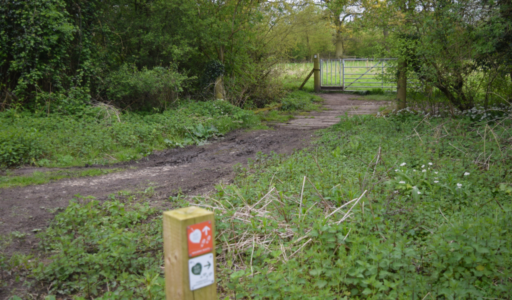
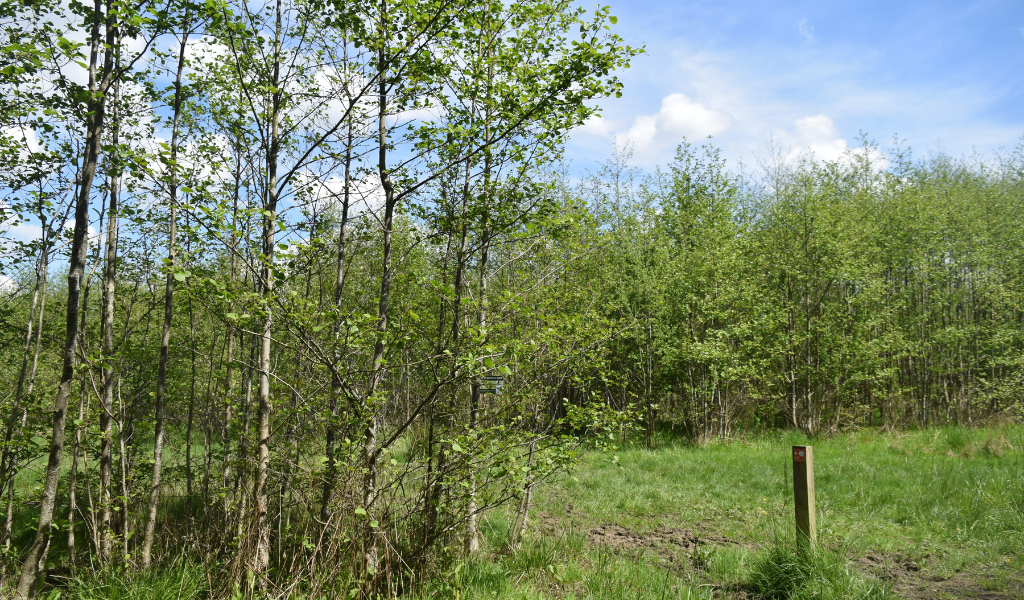
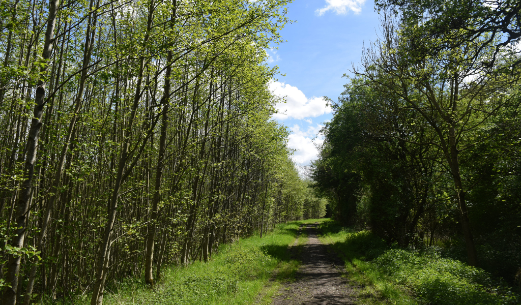
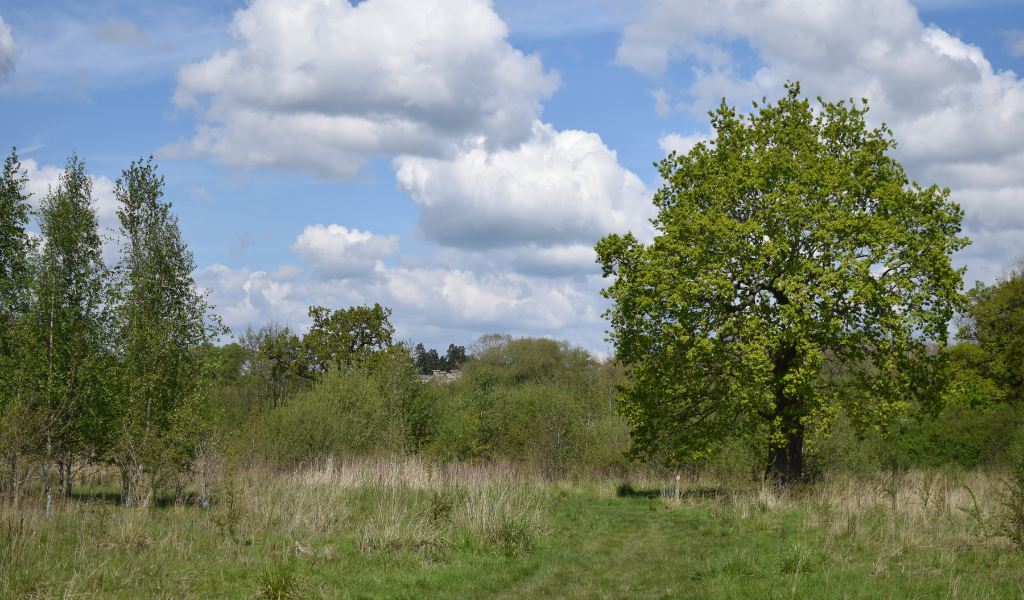
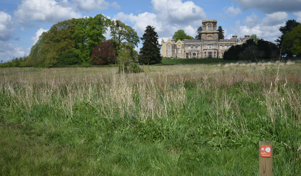
A waymarked trail through College Wood, near to the village of Studley, perfect for a stroll at any time of the year. Planted in 2013, the route takes in views towards both Spernall Park and Studley Castle, the former college and now country house hotel, and passes by the mature woodland known as Studley Thorns.

How to get there

The start / finish point for this walk is:

Address: Castle Road, Studley, B80 7AB
OS Grid Ref: SP 08222 63726
What3Words: ///until.tooth.sooner

The nearest Forest car parks can be found at either Haydon Way Wood or Morgrove Coppice both which offer public footpath access to College Wood

Facilities and access

Easily accessed from Studley via Castle Road or public footpaths across The Park or from Morgrove Coppice. This walk starts from outside the Church of the Nativity of the Blessed Virgin Mary.

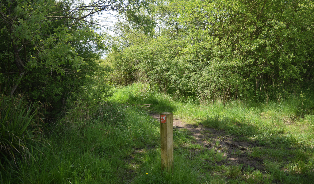
This walking route has no stiles, steps, gates or bridges.

The nearest Forest car parks can be found at either Haydon Way Wood or Morgrove Coppice both which offer public footpath access to College Wood

Download the College Wood walk
Download a wider area map to show links to other walking routes
Distance
1.4 miles
Difficulty
Easy
Start/finish
Cemetery outside the Church of the Nativity of the Blessed Virgin Mary
Terrain
Clearly marked woodland paths following the arrows

Begin walk

1.
1. Follow the public footpath through the cemetery until you exit into the new plantation beyond.
Footpath through an open area of the Forest with a hedge on the right hand side and a waymarker
A frosty footpath running alongside a mature hedgerow and a waymarker post pointing left at the bottom right hand corner
2.
2. Bear slightly left out of the cemetery and turn immediately right, keeping the hedgerow to your right, and the young broadleaf plantation to your left, and continue along this path.
A continuing frosty footpath alongside a hedgerow and young tree plantation
3.
3. As you reach the top of a low rise, you will see a pond to your left. Continue along the same route until you reach an inter-section of path.
A view looking down towards more of the Forest from the top of the small hill
4.
4. Having passed through the access gap in the hedgerow, turn sharply right and follow this narrower track as it curves around to the left and begins to follow the course of Morton Brook.
The footpath continuing down towards the River Arrow
5.
Permissive footpath link to Haydon Way Wood - During this next stretch of path, there is an option to leave College Wood at the waymarked route to visit Haydon Way Wood. Follow the white permissive markers indicating the route on the right.
A bridge in the foreground leading to a gate, which leads in to a young tree plantation. The footpath is sandwiched by hedges
6.
5. Take a sharp left turn at the next way-marker. Here you should first glimpse the grand façade of Studley Castle before you in the distance.
A frosty forest ride between young tree plantations at College Wood
7.
Public footpath link to Morgrove Coppice – Rather than turn sharp left, there is an option to leave College Wood and the waymarked route to visit Morgrove Coppice. Continue straight along the track following the public footpath.
A frosty footpath with a corridor of trees running either side
8.
6. Turn left along the broad forest ride, keeping the mature oak tree and the castle to your right, and continue straight.
An open grassy area with a large oak tree on the right and a glimpse of Studley Castle in the background
9.
7. You will now have arrived back at the same intersection of paths mentioned in step 3. This time, turn right. Follow the path as it skirts the edge of this mature wood, keeping the tall trees to your left.
An intersection of paths in front of a large mature bare oak tree
10.
8. At the next way marker, turn right and with your back to the trees of Studley Thorns head along the path where you will soon see a pond on your left-hand side. Follow this path as it winds around the pond.
The right hand fork direction leading towards the large pond
11.
Look out for the pond on your left for a fantastic view with Studley Thorns Wood in the background.
A view of a large pond with a waymarker post along the footpath in the forefront
12.
9. When you arrive once more at the outer edge of Studley Thorns, turn right and you will soon emerge from the forest into a broad open field. Turn left and follow the path west as it skirts the edge of Studley Thorns, keeping the castle to your right.
A footpath leading to the right with bare wintery trees running along each side
13.
Look out for Studley Castle on your right as you walk to the next point, the views are stunning.
A view of Studley Castle in the distance with dried grasses framing in the forefront
14.
10. Turn left again at the corner of Studley Thorns and follow the path as it passes through a gap in the hedge. Then bear right and head through the young plantation where you will see the square tower of the Norman church on the horizon.
A line of hedgerows guiding the footpath and a waymarker to the left, directing the continuation of the path to the left
15.
11. Continue on this path through the plantation and cross over the bridge that runs through the gap in the hedge. Turn left and follow the ride for a short distance until you see a signpost for the ‘Phoenix Way’.
A wooden bridge over a brook with hedgerows either side
16.
12. Turn sharply right at this sign and continue along the ride where you will soon see the gates of the cemetery.
An open grassland and young tree plantation with mature trees in the background and a waymarker post pointing right in the bottom left corner
End! Well done

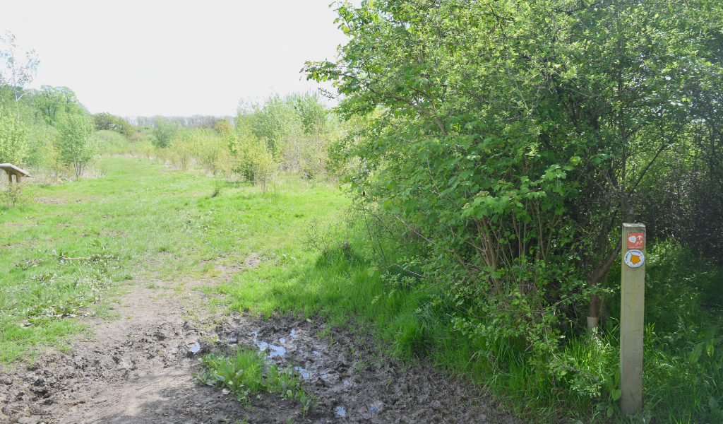
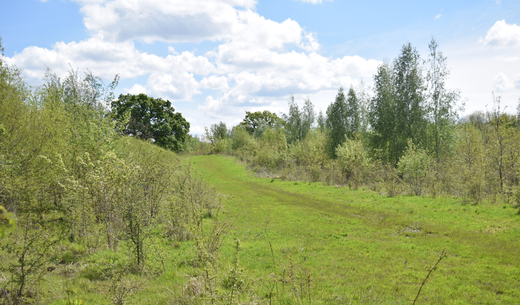
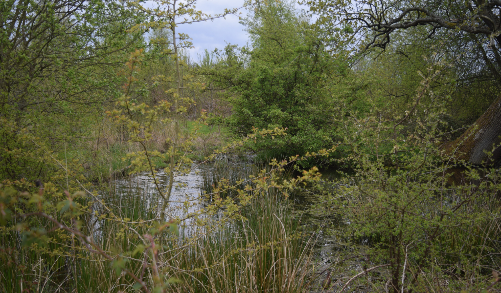
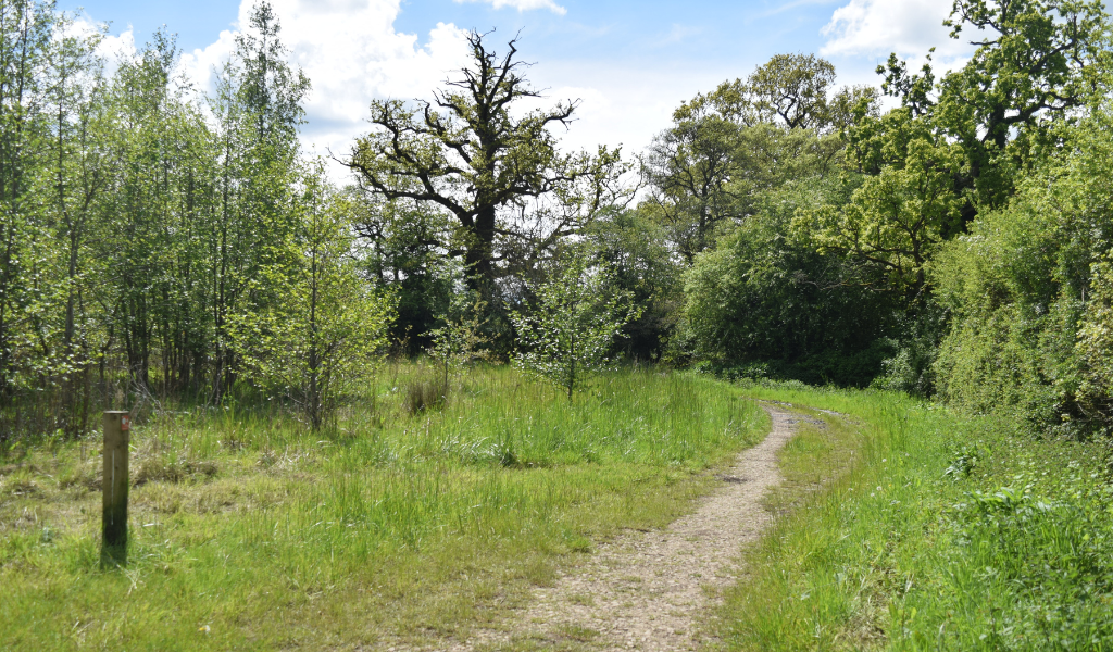
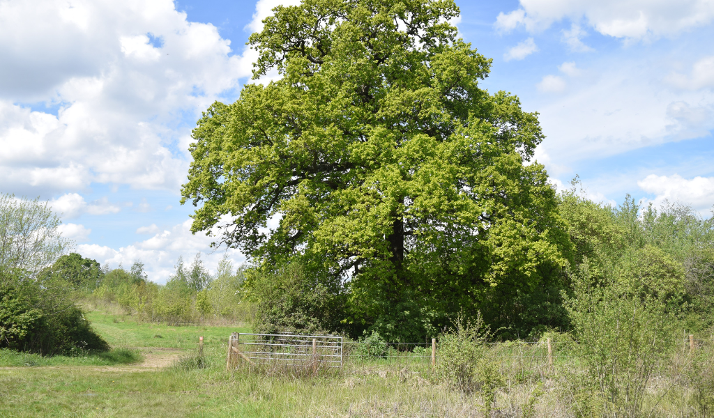
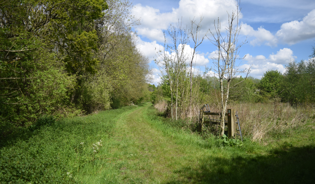
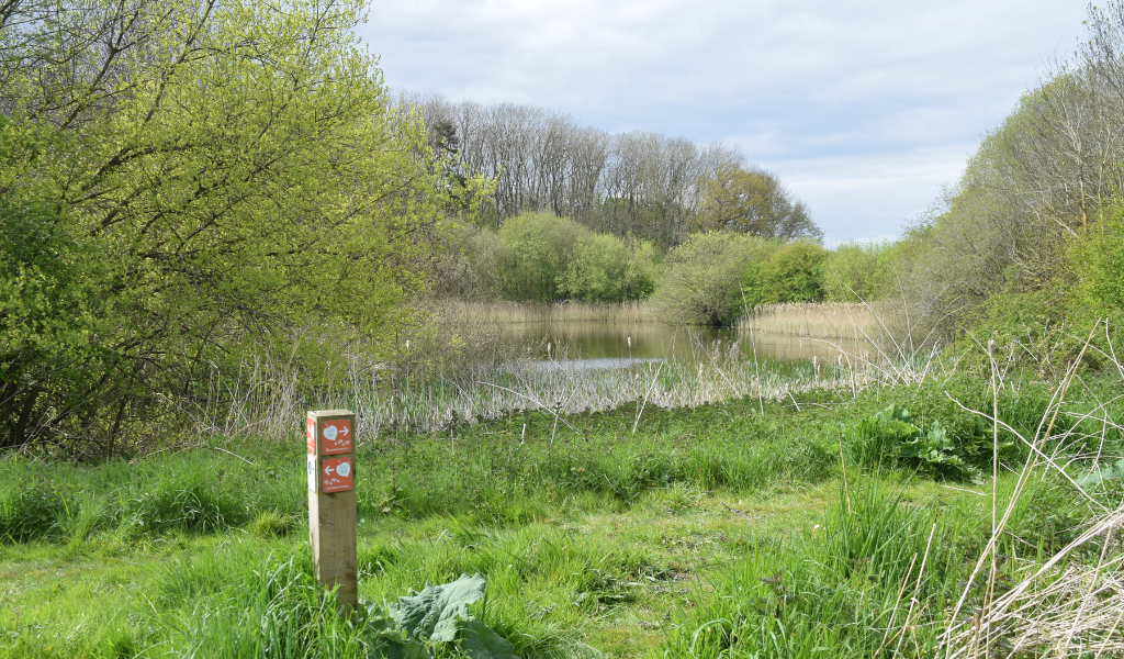
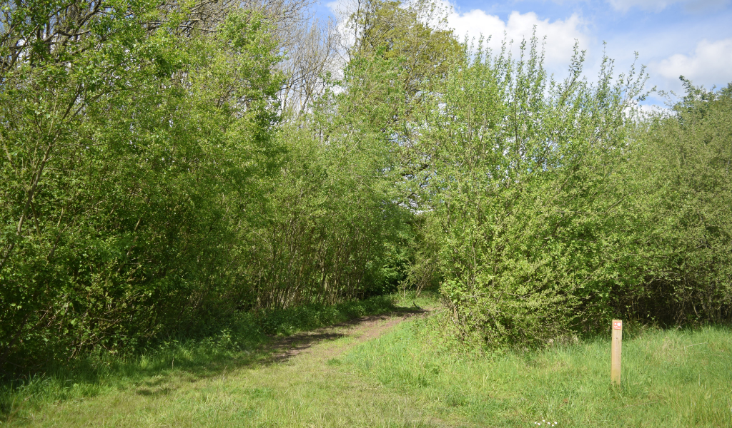
Thank you to volunteer Nicky for contributing these wonderful woodland walk photos.