What's in a word...or 3?
Identifying specific places in the Forest has always been a challenge without a specialist device or a long list of coordinates. Whether you are looking for the tree you have dedicated, seeking out a rare wildflower species that has been shared on social media, or wanting to report a footpath issue, what3words could be the solution. Toby, our Community Engagement Manager, explains why.
What is what3words?
What3words is a really simple way to talk about location. It is based on each 3m square in the world being assigned a unique 3-word address. For example ///actors.matchbox.hiring is the location of the Founder’s Rock in Dorsington Wood.
Whilst as accurate as GPS coordinates, 3-word addresses are easier to say, share and remember than the equivalent coordinates; 52.147221, -1.81806 or OS grid reference SP 12547 49897, that both also refer to this landmark in the Forest.
While there are handheld GPS devices widely available, they are perhaps more likely to be in the pockets of the forestry team members or the backpacks of regular long distance ramblers, rather than those of us enjoying a casual woodland wander. However, most of us do walk with a smart phone and can easily download the what3words app.

Identifying precise locations
With countryside postcodes sometime covering several miles along a road, finding one of the Forest car parks for the first time by postcode alone can be tricky. In the case of our newest car park at Morgrove Coppice, there was no postcode we could share. We had to look at other options and what3words fitted the brief.
Launched in 2013 this location system is now being used by Mercedes-Benz in their built-in navigation systems. Over 80 of the UK emergency services have been encouraging people to share their 3-word location to help them to identify a precise location more easily.
With several features including the ability to share your 3-word location with someone, navigate to a 3-word location by road, and even take a photo that includes the 3-word location in the image, there are many uses for this free and user-friendly system in the Forest.
Using what3words in the Forest
Whether viewed on a smart phone app or webpage, what3words allows you to view a location on either a map or a satellite image. The latter gives you the option to change to view the more established woodlands from above, perhaps even see that special dedication tree in Dorothy’s Wood or Haydon Way Wood before you come and visit, and then use the phone app to identify where your tree is in relation to your location point.
We already have what3words addresses for the starting points of some of the permissive waymarked walking routes on the website downloads, and will be rolling this out across them all in the coming months.
What3words will be used in addition to the OS grid reference with all new tree dedications now being made, for some events held in less obvious locations, and as check points along extended walking routes, so you can enjoy exploring beyond the waymarked routes in areas where we offer permissive access.

Get started with what3words
To start finding, sharing and saving precise locations, download the what3words app. Then why not take part in the three miles by 3-words walk to test it out?
Use what3words to navigate your way on this 3 mile circular walk through the Forest starting at Noleham Wood Car park (///guilty.topics.muffin), which passes through Noleham Wood, Giddings Wood & Coxmere Wood.
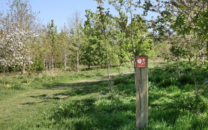
Rather than following way markers, enjoy a wander between these 3-word locations which are linked with permissive or public footpath routes. As well as honing your own skills, this is a great way to engage a tech-savvy teenager on a walk in the fresh air!
Three miles by 3-words route
- Leave the parking areas by the gate at ///strange.price.seducing
- Head north following the hedgeline turning left through the hedge at ///command.sway.exhales
- Follow the footpath which brings you into Giddings wood at ///cupboards.shots.magazines
- Continue straight on and make you way across the north part of Giddings wood to exit at ///relegate.handyman.button
- Cross the concreate bridge over the brook and turn right into a small pasture field, then left, following the hedgeline northwards. You will quickly enter Coxmere Wood aiming for ///guru.sensitive.region
- Continue northwards toward a footpath junction found at ///solids.snoozing.cubs
- At this point turn right (head north-east) to ///idea.chase.calendars
- Turn right and follow the path to ///stay.imperious.calm
- Follow the path around to the right and head back to ///guru.sensative.region
- Head left handed to exit Coxmere Wood retracing your steps over the concrete bridge into Giddings Wood again at ///relegate.handyman.button
- Turn right into the field of younger trees, follow the permissive route to ///reserve.years.handrail
- Turn left and follow the path through the walled entrance back into Giddings Wood at ///hound.unsettled.bunkers
- Head behind the taller red brick barn that is in front of you and continue to the top NE corner of Giddings Wood where you first entered at ///cupboards.shots.magazines
- Follow the hedge of mature trees along Noleham brook on your left, along the full length of this plantation to the small bridge at ///blend.lecturing.recruited
- Continue in the same direction close to the hedgelined brook around the edge of this next plantation to ///public.treetop.flops
- Continue through the hedge and bear right and this footpath will leave back to the car park at ///guilty.topics.muffin
3 Handy Hints
- Before you leave home, save each of the 14 different location points on the walk on the what3words app as a saved location. This will then show you each point on the satellite image map for you to tap in the order you are walking, so you can enjoy the walk and your surroundings without having to enter each one as you go.
- Use the satellite image mode rather than map mode and you will easily identify most of the footpaths that link the points that make up this route.
- Don’t use the navigate feature which relies on roads and is not helpful for woodland walks.
Locating your tree tag
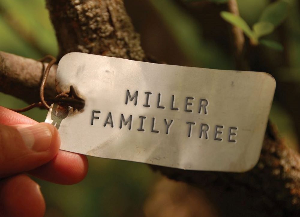
If you have a tree dedication and would like to know its what3words address, please email info@heartofenglandforest.org with your 12-character OS grid reference (starting SP) and we will be happy to provide your 3-words for you.


